Trekking among the villages of the Faltona area
Nature, history, vast panoramas, amazing waterways and the route to Santa Trinita
Texts and photos by Alessandro Ferrini ©
90 images in sequence to learn about this itinerary in Pratomagno. Click to start the virtual excursion
Faltona (Talla), its territory, the possible trekking and walking routes
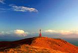
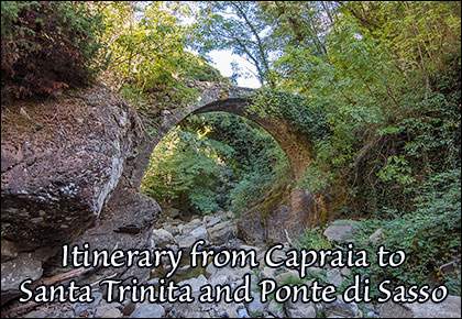
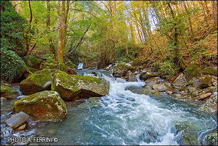
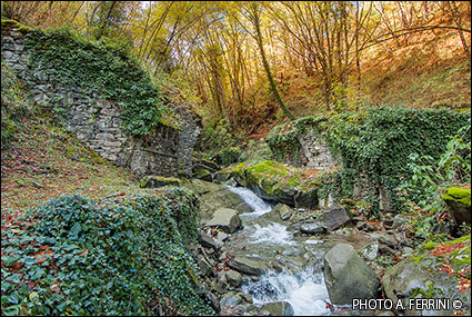
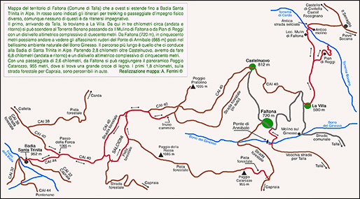 On this page, and in the ninety in sequence, we illustrate an area rich in history and nature where it is possible to take multiple walks. The longest (6.8 kilometers and a total altitude difference of five hundred meters leads to the ruins of Badia Santa Trinita) we describe at the end of this text. This area, located in the municipality of Talla and on the southern slopes of Pratomagno, has been known as Faltona since ancient times, although today this term identifies a specific village originally called Castelvecchio. Another itinerary, which we can also define as the “Walk of Flavors” (on pages 13 and 23 of the sequence we understand why), is the one that goes from La Villa down to the Mulino di Faltona and the Bonano Torrent (three kilometres, round trip, and two hundred meters of total altitude difference), a stupendous watercourse once crossed by a medieval humpback bridge which collapsed in the flood of 1966. The bridge was evidence of an important road that passed through here, evidence strengthened by the fact that, having crossed the stream (today there is a footbridge), we find a road with a clear stone pavement. This goes up to the small town of Serraglio from where it is possible to reach places of great historical importance: Pieve di Socana, Castel Focognano, the Castle of Civitella. A third itinerary from Faltona (720 metres), in five hundred metres, descends to the remains of the Annibale Bridge (665 metres) on the Borro Ginesso, another medieval structure located in a stupendous natural environment. Taking the forest road to Capraia, again from Faltona we can take another route which in 2.6 kilometers allows us to reach the panoramic peak of Poggio Catarozzo where there is a large wooden cross. The first 1.8 kilometers of this itinerary can also be covered by car.
There is little information on the ancient history of the Faltona area. Certainly the area was under the dominion of the Arezzo bishopric since the 11th century (a document dating back to 1022 recalls the nearby Focognano
 Castle belonging, in fact, to the feudal bishops of Arezzo). The owners of almost all of this territory were the Ubertini, and other families close to them. With the domination of the Florentine Republic, in the second half of the 14th century, the Faltona area came under the administration of the podesteria which had been established in Castel Focognano. This situation remained so until 1808, the year in which, by Napoleonic decree, the Municipality of Talla was established. The borders of that time are still the current ones.
To reach the territory of Faltona coming from Casentino, six hundred meters before Talla we leave Provincial Road 59 to take the municipal road on the right. The Villa is the first town we encounter after 3.5 kilometres. This place constituted the important agricultural center of this community until the 1970s. Potatoes, "Neste" apples, chestnuts and their flour have been the leading products of agriculture in this area for a few centuries. The toponym La Villa perhaps already tells us something about the place. The old part of the town is to the right and higher up than the municipal road. There are buildings which, due to their size and other characteristics, show that they were palaces that belonged to wealthy families, they also have private chapels. One of these has an elegant loggia on the façade dating back to the 18th century. It was “the villa” of the place. The ancient road system present here was also important, we talked about it at the beginning of this page.
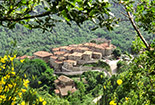
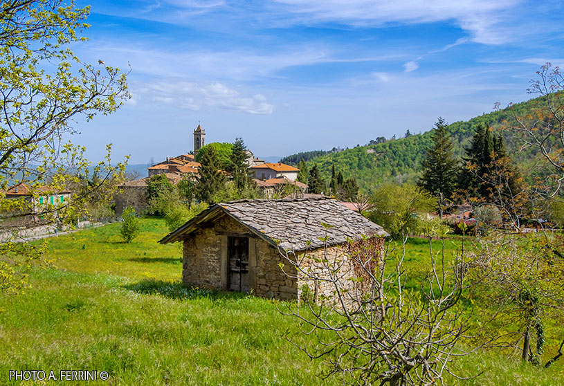
From La Villa in 1.6 kilometers you reach Castelvecchio, as already mentioned, a town now known and referred to as Faltona. It is the largest town in the area. The name (the ancient one) and certain architectural aspects, in particular what could have been a watchtower, make us understand that this place was fortified. The houses are well kept and walking in its alleys is a pleasure. Behind the church, in Via del Castello, there is a small building, recently renovated, which shows nothing particular, yet it is important to mention it
 because it has always been called locally "Lo Spedale". Clear evidence that Castelvecchio was affected by an important and ancient road system: wayfarers, pilgrims, merchants who passed through found refreshment and a place to rest in Lo Spedale. In Faltona, the church dedicated to Saints Lorentino and Pergentino is also worth a visit and was certainly born as a chapel of the medieval castle. There is little historical information on this sacred building, it is known that until 1757, the year in which it had its own baptismal font, it was subordinate to the Parish Church of Socana. The connection between these two places could only be the ancient road we have already talked about, the one that crossed the Bonano torrent via the bridge that collapsed in 1966. The last decades of the 18th century is the probable period in which the church of Faltona was rebuilt, significantly expanding it to accommodate the growing population. The current building has an interior with three naves divided by columns supporting round arches. Around 1980 the church underwent substantial structural and restoration work.
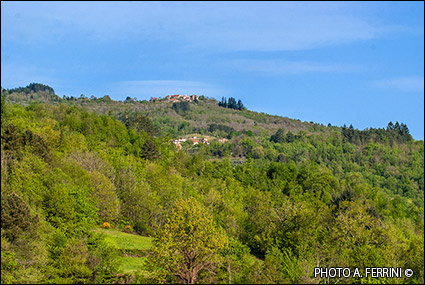
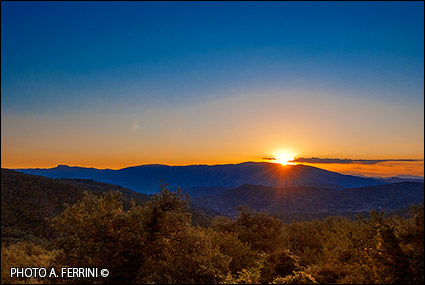
From Faltona, continuing by car along the municipal road, in one kilometer we arrive at Castelnuovo, the highest hamlet in the Municipality of Talla, 812 metres. The toponym is indicative: this place arose in the era following Castelvecchio. It is difficult to establish how much later, as there are no known documents that talk about it. Despite its name, this village was not a castle. We could venture the 17th century as the period of its birth. From here we have a wide panorama that ranges from Monte Falterona to the unmistakable Monte della Verna, to the Alpe di Catenaia, to the Arezzo area (the city cannot be seen). The access to the small village is characteristic. We pass under a roof which still shows the typical stone roofing (we also find it in other buildings). A few meters after this entrance, on the right, there is a large building which on the corner shows a stone coat of arms with two facing lions. Tradition says that there was a Franciscan convent here. This is also very likely due to the presence of a small church next to the roof, which has always belonged to the palace. A monogram of San Bernardino, with the date 1751, is placed on the wall of the building flanking the street. Another date is very interesting, 1753, which is found on a stone where the Florentine lily is also carved and which acts as the keystone of an arch above a portal next to an elegant building. In this period the area of Faltona was governed, at the behest of the Grand Duchy of Tuscany,
 by the podestà of Castel Focognano. The house may have hosted a delegate of the mayor who took care of this territory.
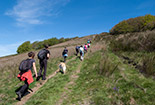
A few meters before Castelnuovo, on the left coming from Faltona, a forest road leads towards Pratomagno. It is the route we must follow to go to Badia Santa Trinita, from here there are 5.7 kilometers. We recommend traveling along the first part of this road by car, with caution because it is a bit bumpy in some places. After 2.6 kilometers we find a fork on the right that leads to Poggio Pratolino. We continue on our road, after two hundred meters there is an open space on the left, where we can leave the car, our excursion begins from here. After about three hundred meters a road comes to our right which leads onto our path. It is the CAI 40 which goes up from Castelnuovo to the ridge of the mountain, a route which is difficult to pass because in certain sections it is closed by vegetation. From this point, CAI 40 and the forest road coincide and mark the border between the municipalities of Talla and Castel Focognano. Another three hundred meters we reach a crossroads where we continue to the right, going up the concrete road. Once the climb is over (the concrete also ends) a short descent leads to another crossroads, on the left, from where another forest road descends to Capraia in 4.2 kilometres. Up to here we have traveled 1.2 kilometres. Another four hundred meters on CAI 40 and, on the left, we find a religious shrine created to remember a legend relating to a Madonna and Child in polychrome terracotta preserved in the Church of Capraia, originally belonging to Santa Trinita. What the legend tells is reported on page 72 of the sequence. Another four hundred meters and we reach a stretch of the road that offers a wide panorama towards the Casentino. Below we see the towns of Carda and Calleta, the horizon is marked by the ridge of the Tuscan-Romagna Apennines which ranges from Mount Falterona to that of Verna. Another two hundred meters and we find ourselves on a saddle in the ridge: we are at Passo alla Forca, 1065 metres. CAI 44 begins on the left, a steep and narrow path that in seven hundred meters descends to the ruins of Santa Trinita. Where the path ends the descent, we find the CAI route 32 which, on the left, leads to Capraia in 4.5 kilometres. Fifty meters further on are the ruins of the ancient abbey. Arriving from behind, the first architectural element that catches our attention is the apse, almost
 completely rebuilt during a major restoration project carried out in 1970. In a few steps we reach the front of the building, from here we realize of two things: the magnificence that this abbey founded around 960 by two German monks must have had and, alas, the state of abandonment and consequent degradation in which it finds itself. The place, however, "set" in a lush forest, still has an immense charm. For more information on Badia Santa Trinita visit this itinerary that arrives here from Pontenano.
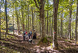
Having observed the ruins of the abbey, still using the CAI 44, we go back up to Passo alla Forca. Once you have entered CAI 40, we recommend not immediately returning towards Faltona, but going left for 300 metres. Going up in altitude, from a bend to the right where the forest road is cemented we will have a wide panorama which, in the absence of mist, will show us the city of Arezzo and the surrounding area. We go back, one kilometer beyond Passo alla Forca we arrive at the crossroads on the right that goes down to Capraia. We leave CAI 40 to follow this forest road which we leave after two hundred meters to take a forest track, on the left, closed by a barrier. We enter an area called Salcioni, the new route takes us through various types of woods and clearings. We must ignore a deviation, to the right, which leads to Poggio della Rocca. A few more minutes of walking and we will be on the route taken previously, at the crossroads where we had gone right, uphill, on the concrete road. We continue on the forest road, our car is six hundred meters from here.


