Panoramas and a wonderful nature in Pratomagno
Trekking routes in the great massif that divides and unites Casentino and Valdarno
Texts and photos by Alessandro Ferrini ©
Walking in Pratomagno: lots of nature, spectacular views, historical aspects
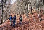
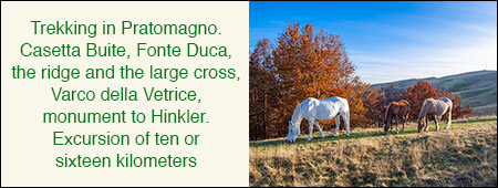
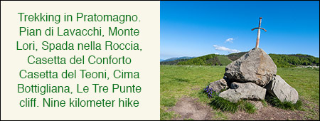
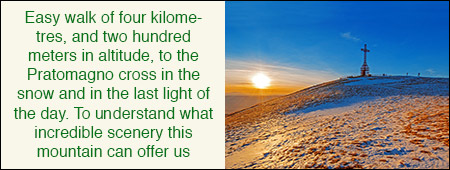
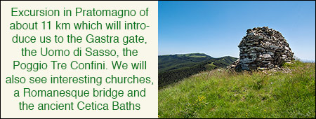
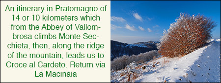
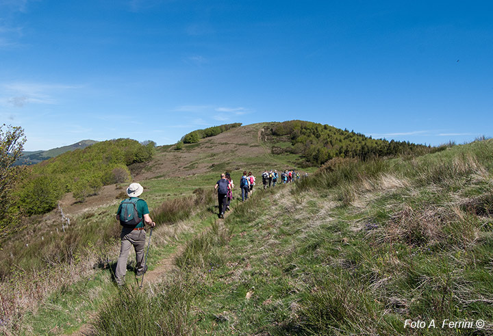
 The Pratomagno is a long massif that separates the valleys of the Casentino and the Valdarno Superiore. It extends mainly in the Province of Arezzo, but with its northernmost part it also enters that of Florence. This mountain separates but also unites Casentino and Valdarno. In fact, there are numerous passes on its ridge that have connected the two valleys since medieval times. The ridge itself, now entirely covered by CAI 00, was an important communication route. Tradition has it that Hannibal traveled it on his descent from the north during the Second Punic War. The characteristic villages on the eastern and western slopes of Pratomagno, almost all built on the remains of medieval castles, are connected to each other by roads and paths. With this historical and geographical premise, it is easy to understand that the Pratomagno is a place that offers numerous paths for trekking and walking. The more than twenty kilometers of its ridge, for the most part on grass for which we have a 360 degree panorama, are the most popular route: it is a continuous ups and downs on the hills of the massif with an altitude ranging between 1300 and almost 1600 meters of Poggio Pianellaccio and the great cross. The famous meadows on the ridge of the massif are surrounded by a crown of beautiful woods, mostly beech woods. This wonderful natural environment is also a reason for wonderful walks. The numerous paths that go through it make this possible. Certainly the most interesting itineraries are those that combine the naturalistic beauty of the woods with the great views offered by the ridge meadows. There is no shortage of historical aspects that these routes can show us, one more reason to go and walk among the beauties of Pratomagno.


