Trekking tra i borghi del territorio di Faltona
Natura, storia, ampi panorami, corsi d’acqua stupenti e il percorso per Santa Trinita
Italiano
IN VISITA AL TERRITORIO DI FALTONA – TALLA 67
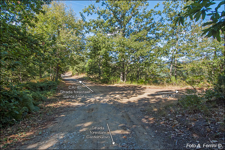
Dopo circa trecento metri, dalla nostra destra giunge una pista forestale che è anche il CAI 40, percorso che avevamo visto a Castelnuovo accanto al seccatoio. Da qui in avanti strada forestale e CAI 40 coincidono. Tenendosi sul crinale della montagna, o molto vicino, segnano il confine tra i comuni di Talla e Castel Focognano.
After about three hundred metres, from our right comes a forestry track which is also the CAI 40, a route we had seen in Castelnuovo next to the squeegee. From here on, the forest road and CAI 40 coincide. Keeping on the mountain ridge, or very close, they mark the border between the municipalities of Talla and Castel Focognano.


