Il Rifugio di Buite, la Pozza Nera, la croce
un itinerario nel cuore del Pratomagno, il massiccio tra Casentino e Valdarno
Italiano
ITINERARIO BUITE – POZZA NERA – CROCE PRATOMAGNO 28
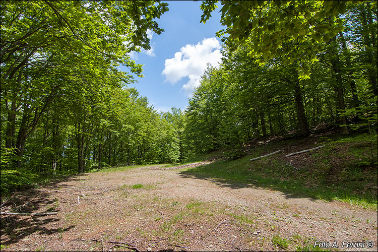
Dopo circa un chilometro dalla Casetta di Buite, siamo giunti nel punto più alto di questa strada forestale, 1360 metri, in corrispondenza di una leggera curva a destra. Da qui dobbiamo ancora proseguire e scendere per 170 metri, fino al bivio con una pista forestale che vediamo nella prossima pagina. After about a kilometer from the Casetta di Buite, we have reached the highest point of this forest road, 1360 metres, in correspondence with a slight curve to the right. From here we still have to continue and descend for 170 meters to the crossroads with a forest track that we see on the next page.


