Il Rifugio di Buite, la Pozza Nera, la croce
un itinerario nel cuore del Pratomagno, il massiccio tra Casentino e Valdarno
Italiano
ITINERARIO BUITE – POZZA NERA – CROCE PRATOMAGNO 6
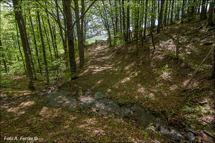
Il secondo fosso che attraversiamo dopo Le Tre Fonti camminando su CAI 42. Siamo in una zona del Pratomagno ricchissima d’acqua, le numerose sorgenti si trovano poco sotto la grande croce. Può essere bello andare a vederle, è sempre un piacere osservare l’acqua che sgorga in un prato a quasi 1600 metri di altitudine. Poco più in basso questi ruscelli confluiscono sul Teggina, il corso d’acqua che incontreremo tra poco più di duecento metri la cui sorgente è anche la Fonte del Duca. Il cancello che vediamo sullo sfondo della foto segna la fine di questo bosco, è una simbolica porta su una bella radura. The second ditch that we cross after Le Tre Fonti walking on CAI 42. We are in an area of Pratomagno very rich in water, the numerous springs are located just below the large cross. It can be nice to go and see them, it's always a pleasure to observe the water that flows in a meadow at almost 1600 meters above sea level. A little further down these streams flow into the Teggina, the stream that we will meet in just over two hundred meters whose source is also the Fonte del Duca. The gate that we see in the background of the photo marks the end of this wood, it is a symbolic door to a beautiful clearing.


