MONTE FALCO AND MONTE FALTERONA
in the National Park of the Casentino Forests
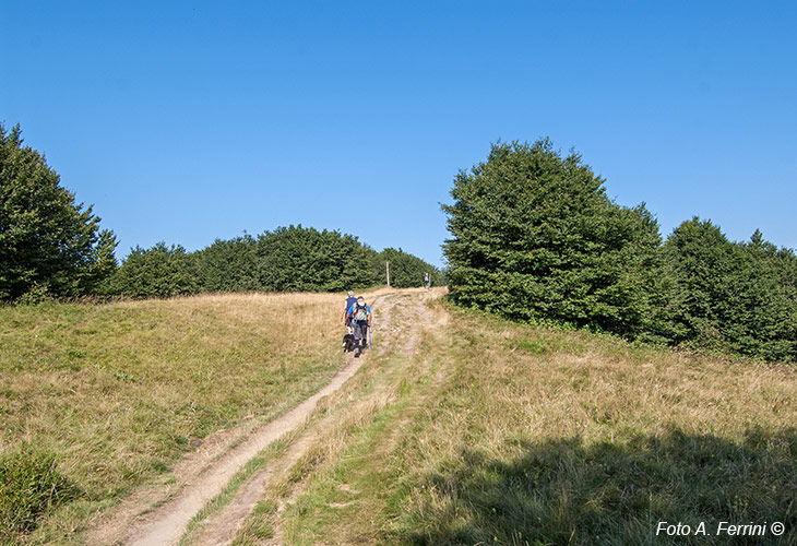
Texts and photos by Alessandro Ferrini ©
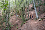
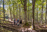
48 accurately described images of the walk in Monte Falco and Monte Falterona. Click to enlarge
The roof of the Casentino Forests: the Falco and Falterona mountains
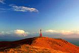
This section, through 48 well-described photos, presents perhaps the most popular itinerary, within the National Park of the Casentinesi Forests, for lovers of hiking in the Apennines. This route will take us, in fact, to the “roof of the Casentino”, that is to the 1658 meters of Monte Falco and 1654 meters of Monte Falterona. But at the same time, being these peaks on the Apennine ridge, also on the "roof of Mugello and Romagna". From these peaks you can enjoy spectacular views over these lands, as well as over the Casentino valley.
Then, from these peaks we will be able to descend to Capo d’Arno and to the Lake of Idols, places of naturalistic, but also literary, historical and archaeological importance. Monte Falterona was known, in fact, by the Etruscans, by the Romans, by Dante Alighieri who certainly crossed it in his movements between Casentino and Romagna. Unfortunately, it was the scene of bloody episodes in the moment of retreat of the Germans at the end of the Second World War.
This itinerary is quite demanding, not due to the characteristics of the route which on the whole is quite easy as a background, but for the approximately 15 kilometers of its length and for the differences in height that it will face.
The starting point of this excursion is located in the land of Romagna and we arrived there by car from Passo della Calla heading to Burraia. Beyond this place we continued until a bar closed the road. We are in Piancancelli (1480 meters). From here, taking the GEA SOFT 00 path, easily distinguishable by opening in the fence, in just over 2 kilometers, you will reach the Apennine ridge (which in this area marks the border between Tuscany and Romagna), turning right in a few minutes we reach the 1658 meters of the top of Monte Falco. In the next two kilometers, we will first descend about 120 meters, then we will face 15 minutes of steep ascent that will take us to the 1654 meters of Monte Falterona. On the opposite side from where we arrived, in 45 minutes of steep descent we will descend to 1360 meters of Capo d’Arno. Then in another 20 minutes of ups and downs we will reach the Lake of Idols at 1380 meters. The next twenty minutes of walking will take us, climbing only a few meters, to the Prati di Montelleri, in the summer a grazing place for many cows. Here begins the so-called “Scalandrino di Montelleri”, a fairly demanding but not long uphill stretch on the CT4 path that runs alongside the enclosure. Then, the climb becomes less demanding and before arriving at a crossroads we will find two panoramic points that offer sweeping views ranging from Monte Falco to the Sacro Sasso della Verna and, further to the right, the Alpe di Catenaia. At the crossroads, at 1540 meters above sea level, we will continue to the right always on CT4. After 10 - 15 minutes we will find on the left the detour that we took to climb to the top of Monte Falterona on the way. Now we will continue straight on the road traveled on the outward journey. About 40 minutes to be back at 1658 meters of Monte Falco. Then we will have a 10-minute walk slightly downhill on the ridge along the GEA 00 path which we will leave by turning left on the GEA SOFT 00 path already used at the beginning of the excursion. This stretch of the route is called the Pista del Lupo. A constant descent on the Piancancelli knoll brings us back to the starting point in 30 minutes.
As mentioned above, this itinerary is approximately 15 kilometers. A connection time of 5/6 hours should be considered. Of course, the route can also be covered only partially. The photos illustrating this excursion were deliberately taken in different seasons because this area has different charm at different times of the year. However, keep in mind that certain atmospheric phenomena (cold, rain, fog, wind) that do not cause particular nuisances in the plains or hills, amplify considerably at 1600 meters. The fog (or low clouds) that can come even suddenly is a great danger. This makes you lose your orientation very easily. Although the trails are well marked, it is prudent to carry a map in your backpack.


