Cammino Bizantino nel Comune di Talla
Passeggiata tra Casentino e Valdarno per scoprire testimonianze di questa civiltà
Italiano
PASSEGGIATA IN UN TERRITORIO BIZANTINO 8
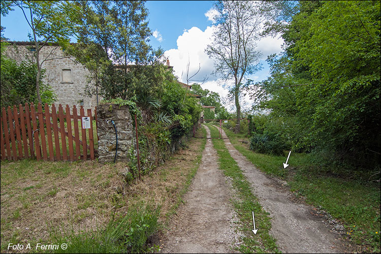
In un centinaio di metri da dove abbiamo lasciato la pista forestale, la vecchia Strada della Crocina ci ha fatto raggiungere Gretole (685 m), località oggi costituita da alcuni vecchi edifici databili alla seconda metà del XIX secolo, ma sembra sia sorta su qualcosa di molto più antico. Vista la sua posizione che offriva un'ampia vista (quando non era circondata da vegetazione di alto fusto) si ipotizza ci fosse un fortilizio medievale a contatto visivo con il potente Castello di Pontenano. Qui termina questa prima salita non impegnativa dell'escursione. Ora cammineremo, in modo pianeggiante, ancora per cento metri sulla vecchia Strada della Crocina.
In a hundred meters from where we left the forestry track, the old Strada della Crocina took us to Gretole (685 m), a town today made up of some old buildings dating back to the second half of the 19th century, but it seems to have been built on something much older. Given its position which offered a wide view (when it was not surrounded by tall vegetation) it is hypothesized that there was a medieval fortress in visual contact with the powerful Pontenano Castle. This is where this first non-demanding climb of the hike ends. Now we will walk, in a flat way, for another hundred meters on the old Strada della Crocina.


