Con Guido Monaco all'Abbazia di Santa Trinita
itinerario da Pontenano all'abbazia benedettina di Santa Trinita e al Varco di Anciolina
Italiano
STRADE E LUOGHI STORICI SUL PRATOMAGNO 49
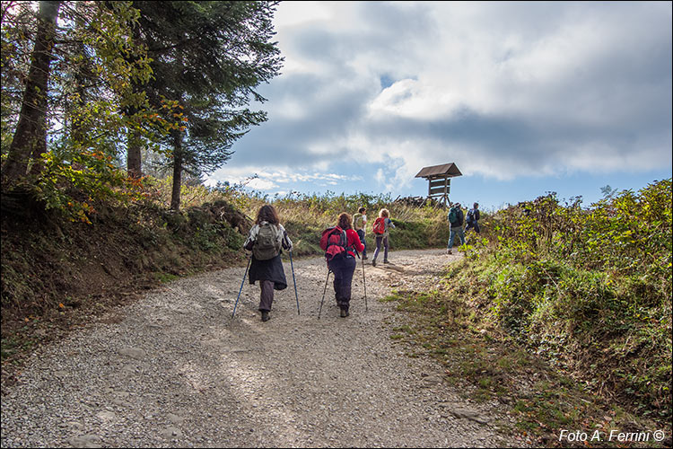
Con un gruppo di camminatori siamo giunti al Varco di Anciolina. Da Badia Santa Trinita abbiamo fatto tre chilometri. Tra pochi metri c'è la strada asfaltata che sale fino a Pian dei Lavacchi, il grande prato prima della salita che conduce a Monte Lori.
Su una curva a destra, pochi metri prima del punto da dove è stata scattata questa foto, c'è una strada a sinistra che entra nel bosco. È il percorso CAI 46 che va a finire a Pontenano. Vi entreremo tra circa un chilometro, come vedremo a pagina 56.
With a group of walkers we reached the Anciolina pass. From Badia Santa Trinita we traveled three kilometers. In a few meters there is the asphalt road that goes up to Pian dei Lavacchi, the large meadow before the climb that leads to Monte Lori.
On a right bend, a few meters before the point where this photo was taken, there is a road on the left that enters the woods. It is the CAI route 46 which ends in Pontenano. We will enter it in about a kilometre, as we will see on page 56.


